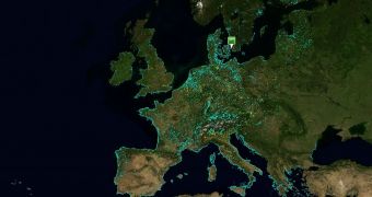
Microsoft’s Eye on Earth, a project designed to allow Europeans to literally keep an eye on various sites across the continent and monitor important environmental data, has evolved, now integrating the company’s mapping, search, and location platform, closer than ever. Eye on Earth will turn two years old at the end of this month, and the project has changed consistently from the moment when it was first introduced. Back in July 2008, Eye on Earth delivered only a fraction of the environmental data it now offers visitors, also leveraging less Microsoft technologies than at the present.
With the latest update, the joint project between Microsoft and the European Environment Agency (EEA), now offers environmental data across Europe on top of all the flavors of Bing Maps. Essentially, users will be able to switch between all the style maps offered by Bing Maps. In this regard, Eye on Earth now features not only the traditional road maps, but also Aerial and Bird’s Eye imagery, just as Bing Maps.
“We’ve just released an update to Eye On Earth that adds in Birdseye support, the new style Bing Maps navigation controls, and also moves the system to the latest release of the Windows Azure SDK,” a member of the MCS UK Solution Development team revealed.
Although it started initially as a project taking advantage of Live Search Maps, and designed to bring people across Europe information about the water quality in various monitoring spots on the continent, Eye on Earth has slowly grown, with the promise that the evolution is far from over. At this point in time, Eye on Earth also offers data on air quality in Europe, and is based on Bing Maps and Windows Azure. Microsoft revealed plans to add biodiversity and noise-pollution info to Eye on Earth in the future.
Follow me on Twitter @MariusOiaga.

 14 DAY TRIAL //