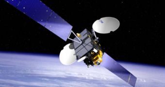
German experts at Fraunhofer-Gesellschaft are currently working on a new satellite positioning system, aimed at providing emergency rescue workers with an invaluable tool in the exercise of their profession. The GNSS (Global Navigation Satellite Systems) would provide each team member with the real-time location of every other member, as well as with the approximate coordinates of medical supplies, which are critical in an emergency. Details and plans of the system will be presented May 12-15, at a logistics trade show in Munich, Germany.
One of the main tools that the experts are using for the development of GNSS is the Galileo satellite navigation system, which, as opposed to the more famed Global Positioning System (GPS), is not under military control. At this point, representatives from nine Fraunhofer Institutes and the Fraunhofer Transport and Traffic Alliance are working together to innovate five fields of research at the same time, including travel assistance, logistics, environmental applications, infrastructure construction and safety. Their current progress will be presented next week at the joint exhibition stand.
“If you analyze different target groups, such as logistics, travel assistance, environmental monitoring or security services, it quickly becomes evident that the tasks are similar in terms of system architecture. Similar structures and content are always needed on similar end devices. For example, data indicating where an individual is located; sensors that deliver specific values such as toxic gas concentrations; or end devices that function as clients,” explained project manager Werner Schonewolf. He is working at the Berlin-based Fraunhofer Institute for Production Systems and Design Technology IPK.
“Our objective is to offer a universal, service-oriented software architecture that works as a building-block system to allow configurable application profiles,” he added. The expert envisioned that the new system could be used to provide commuting passengers, for example, with directions to the trains they have to change without the people actually having to ask for directions. “This is possible through the context recognition in the end device. We connect the train schedule data with the positioning, so people can navigate themselves safely to the train, even in a labyrinthine train station. In catastrophic events, we connect sites with toxic gas sensors, and then can detect danger early on,” Schonewolf said.
“We're developing our GNSS platform from the collective data gathered from GPS, GLONASS - the Russian satellite network – and Galileo. With data from 70 satellites in the sky, people and goods can be located much more precisely than ever before - even in deep canyons of urban areas, which were a challenge until now,” he concluded, quoted by e! Science News.

 14 DAY TRIAL //