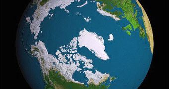
Since 30 years ago, when the European Space Agency (ESA) began measuring the thickness and spread of the ice sheets covering the North Pole, ice levels were never as low as they were in 2007. Increasing amounts of carbon in the atmosphere, as well as human activities, continue to heat up our planet, and increasing temperatures prompt more ice melts and more icebergs in the Arctic.
Measurements conducted from 2002 to 2008 revealed that 2007 saw the largest ice withdrawal in recorded history, with ice thickness decreasing by about 17 percent from the average levels recorded over the past 5 winters. The Advanced Synthetic Aperture Radar (ASAR) sensor, on board ESA's ENVISAT satellite, was used for the recordings, as its make-up allows for pictures to be taken through darkness and clouds, which often occur at the North Pole.
Severe atmospheric conditions in the area rarely allow for direct observations, but European officials in charge of the space program said that, in 2008, both the Northwest and the Northeast passages in the Arctic were opened at the same time, which was never before witnessed. However, ESA's satellites are placed in orbit in such a manner, that they allow for direct observations of the area. And the EU is devoting almost half of its observation resources to assessing the state of the ice sheet on the North Pole.
As more melting prompts more icebergs in the upper part of the Atlantic, the European Union and Canada are beginning to work on common initiatives, whose purpose is to provide ships sailing in the ice-dotted waters with accurate, up-to-date information on the state of their routes. The Polar View initiative, which was created by European and Canadian organizations under the Global Monitoring for Environment and Security (GMES) program, is currently working at full capacity, constantly averting maritime incidents in the area.

 14 DAY TRIAL //