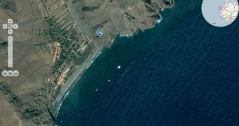
Microsoft has made it a tradition to extend the new content available to end users via Bing Maps from month to month. In this context, August makes no exception to this rule, with the month bringing with it yet another refresh for the Redmond company’s mapping, search and location platform. For August 2009, Microsoft did not make public the size of the Bing Maps update; however, the new content added is bound to weigh in the tens of Terabytes. According to Chris Pendleton, the Virtual Earth technical evangelist for Microsoft, the update adds in excess of 100,000 kilometers of territory.
“As the waning, August moon signals the end of summer, the last of our imagery for the hot months is posted to the web...101,486 kilometers in all,” Pendleton noted. This makes the August Bing Maps update roughly half the size of the refresh introduced by the software giant in July 2009.
The previous Bing Maps update brought to the table no less than 41 TB of new imagery and map data. At that time, the Redmond company expanded the territories covered by the successor of Virtual Earth by no less than 190,000 square kilometers. Users can of course explore the new content added in August 2009 via the Bing Maps World Tour application.
Microsoft designed Bing Maps World Tour specifically to offer end users a way to easily and seamlessly access the new content added with the monthly Bing Maps updates. Instead of hunting down for fresh imagery, users can simply turn to the Bing Maps World Tour application for a highlight of the most recent refresh of images.
Pendleton revealed that the August 2009 Bing Maps update consisted of Digital Globe Orthos from Algeria, Australia, China, Egypt, El Salvador, France, Greece, India, Japan, Kiribati, Malaysia, Maldives, Marshall Islands, Morocco, New Zealand, Nigeria, South Africa, South Korea, Spain, Thailand, Turkey, and the United States.

 14 DAY TRIAL //