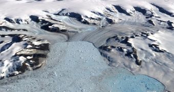
In case you ever wanted to visit Antarctica, but you were either too lazy or too comfortable to even check the Internet and the agencies? offers for a trip there, this one?s for you. Google Earth has just introduced greater detail of the southernmost continent due to their new high resolution satellite.
"The U.S. Geological Survey (USGS), the British Antarctic Survey (BAS), and the National Aeronautics and Space Administration (NASA), with funding from the National Science Foundation (NSF), created Landsat Image Mosaic of Antarctica (LIMA) from more than 1,000 Landsat ETM+ scenes. LIMA covers all of Antarctica, with the exception of the South Pole at 90 degrees south to 82.5 degrees south latitude, where there's no coverage because of its near-polar orbit", Michael E. Jones, GIS Specialist with the Google Earth team, said on the Google Lat Long Blog.
This is a strange place to ask the users for data contribution from; geo-tagged videos uploaded to YouTube, photos uploaded to Panoramio and even station modeling in SketchUp are all welcomed by the dev team. They want to explore the snowy escapes from the warmth of their chairs at the expense of our frozen to numbness limbs. No, thank you! I mean it?s true that the Google Earth aficionados are a tad more adventurous than others, but still?
I?m not sure why others would want to go and see a barren, snowy, windy landscape, and I have a difficult time with that, because every time I look out the window, I see something similar to that. I mean sure, there are neither nunataqs, in my view, nor seracs, but other than that it?s just the same. It?s a particularly auspicious time for the holidays to come, I wouldn?t see Santa?s sleigh if it hit me in my face, so I guess I would, after all, enjoy the thought that others have endured extreme temperatures so that I could watch a movie in my robe.

 14 DAY TRIAL //